


mike_s
Contributor
Very helpful pics Nemrod and Mike. I plan to swim out from the beach to the ocean end of the jetty, descend, and then head to 'kiddie pool' end. .
I think when you get there and see how far of a swim it is from the "ocean side" (beach) to the end of the jetty, to swim around, that you'll reconsider. I guess it's not that bad, but it's just a farther hike to get there, so most folks opt the shorter walk and to do like Kevin posted above. just enter through the tidal/kiddie pool and go from there. (there are a few spots to get over the rocks)
the jetties are much longer than they look in the pictures/diagrams. you still have plenty to dive just doing "half" of it.
. Also, can anyone tell me about the slope of the underwater part of the jetty? I mean, do the rocks that make up the jetty stay pretty vertical as they slope to the bottom? The actual picture makes it look like something (either rocks or sand) slopes out a good bit from the above-water portion of the jetty
it's all rocks that stick up. the rocks stick up a few feet above the water, but they are low enough in a couple places to swim across
They aren't completely vertical going down, but maybe a little more vertical than 45degrees. it's a fairly steep drop off.
Here are some more pics to help "visualize" it.
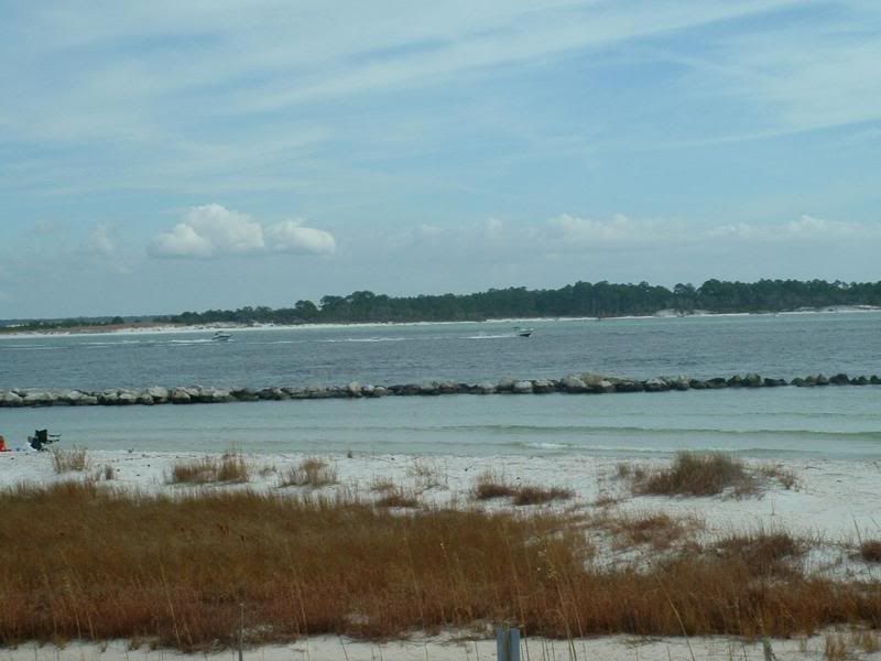
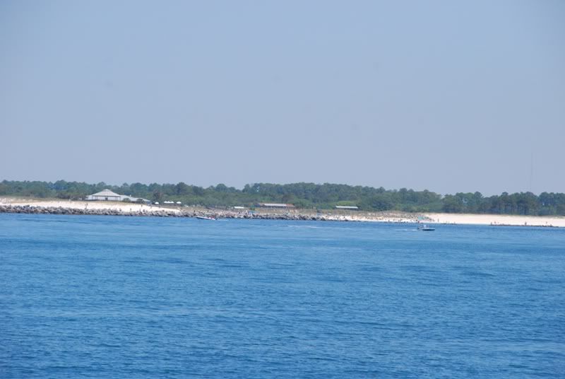
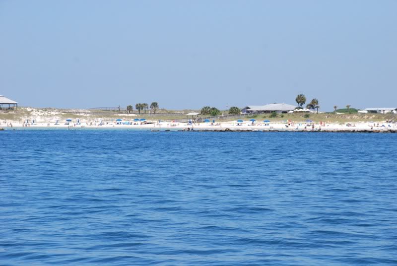
I think this is the north end of the tidal pool (boat are going south in pic). this line/section of the jetty you see is bascially the section you'll dive typically.
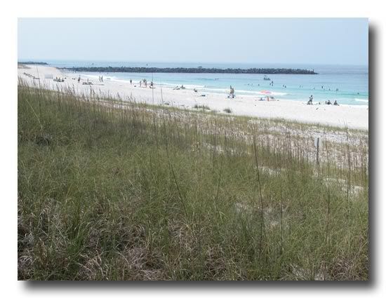
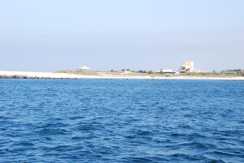
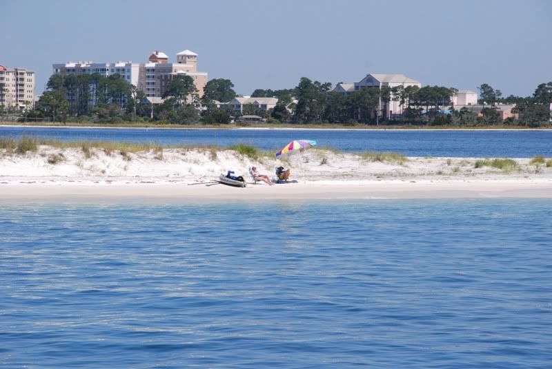
South (ocean ) end of the west jetty, view from beach
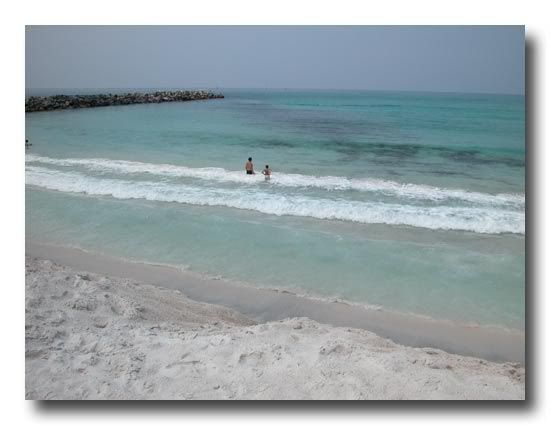
another view of the same, closer in
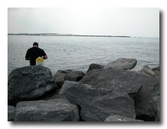
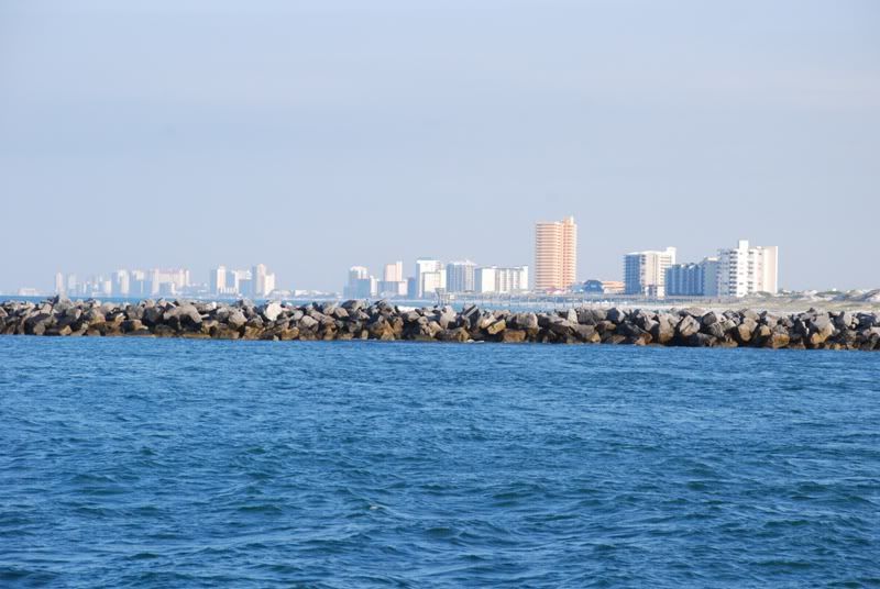
how big most of the rocks are and height off the water. (note there are several places that the rocks are low enough to swim across once you get into the channel)
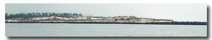
view of Shell Island, the east side of the jetties (reachable only by boat or water shuttle)
 I'd pay a few extra bucks for that.