NOAA Bathymetric Data Viewer

Please register or login

Welcome to ScubaBoard, the world's largest scuba diving community. Registration is not required to read the forums, but we encourage you to join. Joining has its benefits and enables you to participate in the discussions.

Benefits of registering include

  • Ability to post and comment on topics and discussions.
  • A Free photo gallery to share your dive photos with the world.
  • You can make this box go away

Joining is quick and easy. Log in or Register now!

Under options, turn on "bathymetric contours".
 
Ah, the advances using modern technology. A quarter century ago I needed a digital bathymmetric map of the waters around Catalina Island and spent a long time at a digitizing tablet creating the bathymmetric (and eventually topographic) contours to create a 3-D model of "my" island. Now a click or two on the mouse and... voila!
 
Google Earth has even better imagery and includes GPS coordinates to make finding reefs and wrecks even easier.

For Hawaii, the NOAA offering is a fair bit better than Google Earth's. I realize now that not everywhere will be as high resolution as Hawaii.
That said, I am not a GE wizard by any means. What modifications can I make to my settings to improve my experience?
 
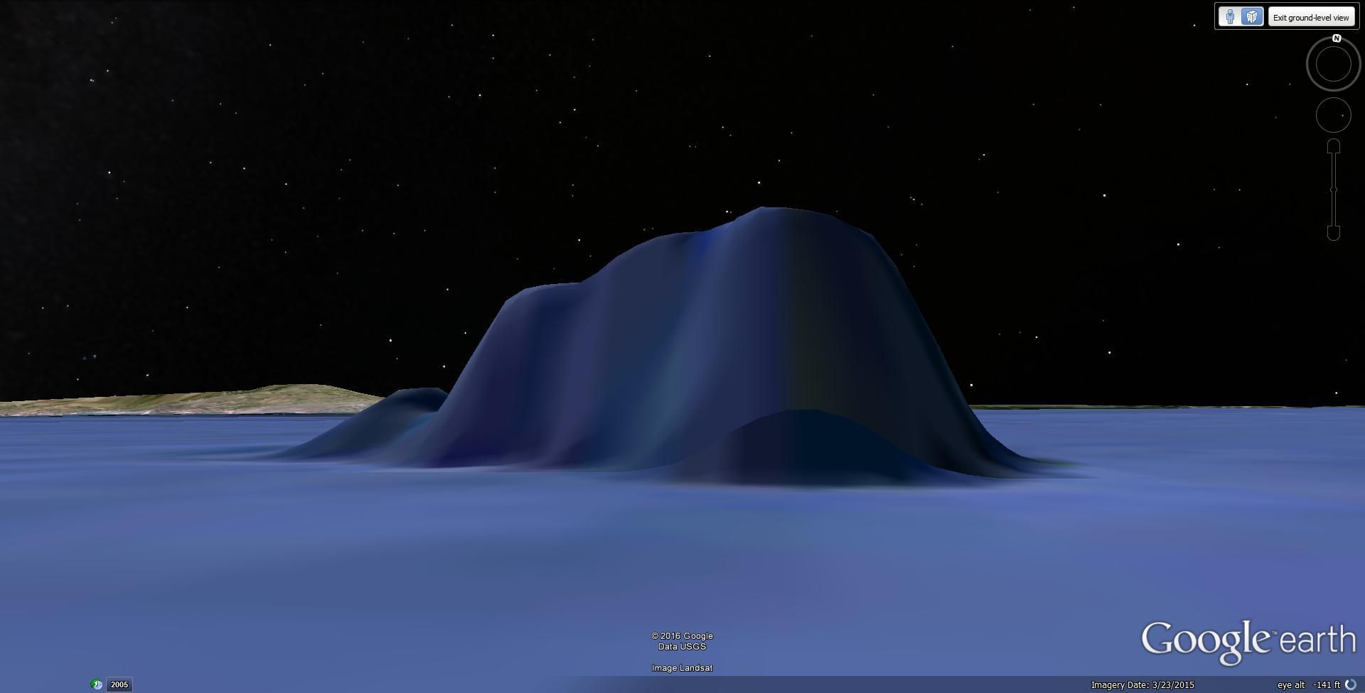
If you zoom in all the way under the surface you can see 3D images of the reefs and wrecks ad explore all the nooks and crannies.
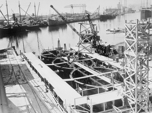
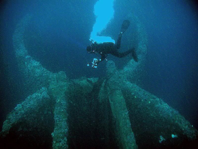
One of my favorite SoCal dives are the Caissons. Standing 30-40 feet off the bottom, these cement structures attract a lot of marine life.
caissonfirst.jpg

Under construction in Long Beach

caissonsketch.jpg


531804571MXheMH_ph.jpg


Caissons_zpstggzg0tr.jpg

Google Earth image
 
Last edited:
https://www.shearwater.com/products/peregrine/

Back
Top Bottom