


No Suex DPV is required. The Seika transmits GPS location to the Eron D-1 via radio. It can either be mounted on a DPV handle or worn on your wrist.The Suex device looks interesting but it looks like it needs to be integrated a Suex DPV.
Eron : Full control over your browsing - Suex
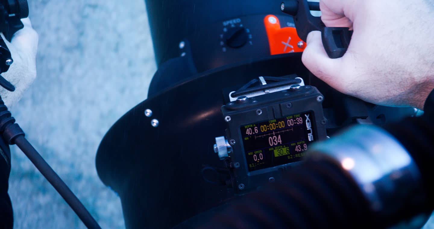
Eron D1-Connect is much more than just a computer. Through the wireless connection with the scooter, it can provide data that was previously impossible to obtain.
 www.suex.it
