Garmin Descent S1 Buoy -- Surveys

Please register or login

Welcome to ScubaBoard, the world's largest scuba diving community. Registration is not required to read the forums, but we encourage you to join. Joining has its benefits and enables you to participate in the discussions.

Benefits of registering include

  • Ability to post and comment on topics and discussions.
  • A Free photo gallery to share your dive photos with the world.
  • You can make this box go away

Joining is quick and easy. Log in or Register now!

Rick Brant

ScubaBoard Supporter
Messages
435
Reaction score
390
Location
San Diego
# of dives
200 - 499
This product has been out for a while now but I have still not been able to get an answer to this simple question. Can a diver note or navigate to a GPS location underwater? In other words, repeatably navigate to a specific spot on the sea floor.

We do reef surveys and need to locate specific locations using GPS. It is very difficult to do this using a regular GPS. I doubt the Buoy can do this but they do mention reef surveys in one their videos.

On a different note, Garmin has a very poor support system. There is no contact for asking questions like this. Whatever your support issue is, the Garmin site will funnel you to a FAQ that in this case at least, is not helpful.
 
Normally, one tows a GPS in a surface float if one wants a good u/w position, uses time synchronization or pulling the buoy under for a minute to put a mark on the record. Returning to that position is trickier; people have done all kinds of things, for example have the GPS antenna at the surface but the unit is with them underwater; or long wires from the surface float to the diver, or rigging the GPS at the surface to make a loud ping when its gets to a preset position; or keep someone at the surface watching the GPS so the divers can be alerted. None of it works so well that people copy it and repeat it! Professionally, one just uses proper acoustic navigation, at high cost.

ADDED: See DIY GPS dive tracking for the general topic
 
As others have noted, the answer is no. But in general for Garmin specific questions you might get better answers on their own user forum.

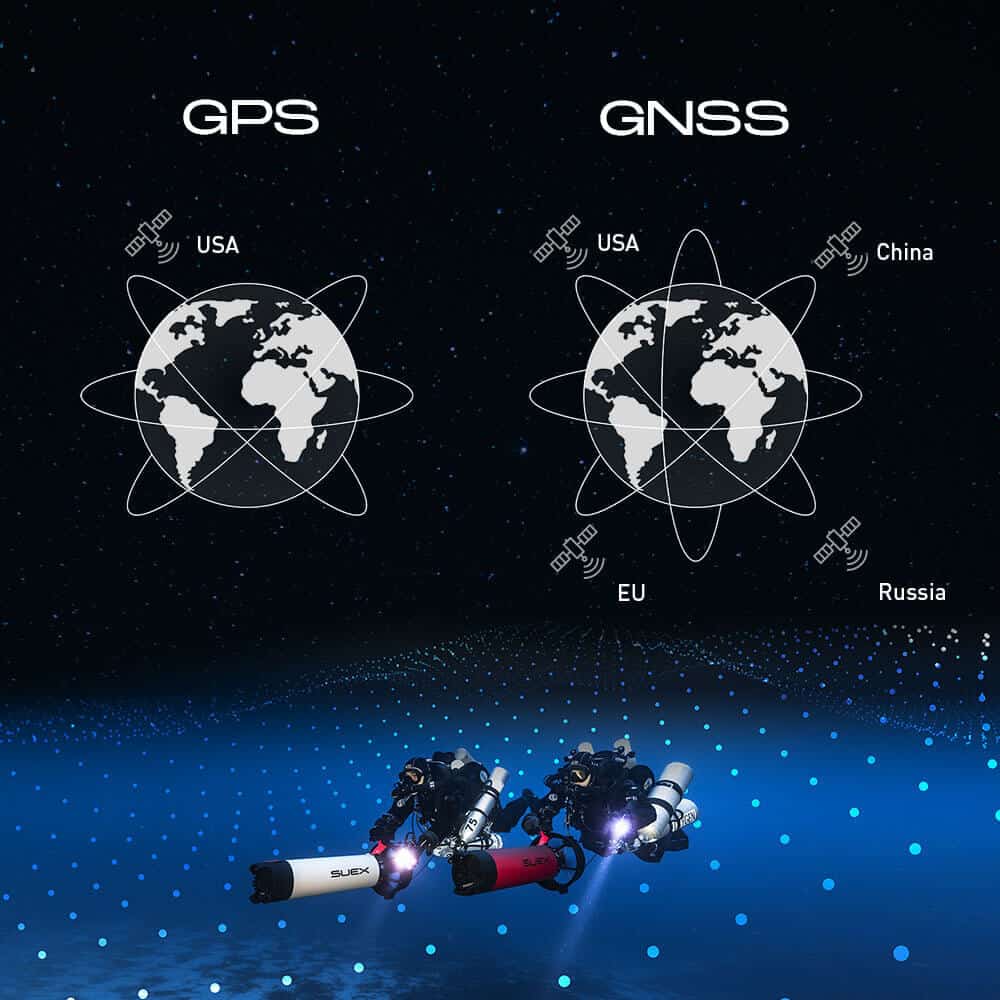
For your use case something like the Suex Seika might be a better fit.
 
For your use case something like the Suex Seika might be a better fit.
I can't get that link to work, but elsewhere I find that product: a suface bout with GPS and a transmitter (presumably acoustic) that is over $2000 plus almost as much for a device to read the received location at the diver end. Whoo! Sounds nice....but......
 
The Suex device looks interesting but it looks like it needs to be integrated a Suex DPV.

The cost of these devices -- around $4k for buoys and remote displays -- is OK for our need. We are trying to locate survey locations and getting a good reading on the surface and then dropping straight down is harder than it sounds. We waste a lot of time using visual imagery to double-check our start points.
 
Can you place a triggerable acoustic beacon or strobe at your u/w survey location? Get close with the surface position, drop down, find the beacon?
 
What are the challenges you face with locating a site on the surface (presumably with GPS) and then dropping down onto it? What kind of depths are you working with? What level of accuracy is required (10s of meters, within a meter)?
 
No, not allowed to leave anything behind.
Then find the spot on the surface using GPS, and drop the beacon right there,,,heavy, so it doesn't go anywhere but straight down. Find your spot on the bottom, and bring the beacon back.
 

Back
Top Bottom