A clear photo of underwater terrain at Pebble Beach

Please register or login

Welcome to ScubaBoard, the world's largest scuba diving community. Registration is not required to read the forums, but we encourage you to join. Joining has its benefits and enables you to participate in the discussions.

Benefits of registering include

  • Ability to post and comment on topics and discussions.
  • A Free photo gallery to share your dive photos with the world.
  • You can make this box go away

Joining is quick and easy. Log in or Register now!

MSilvia

Contributor
Messages
4,747
Reaction score
27
Location
Shelburne, Vermont USA
# of dives
200 - 499
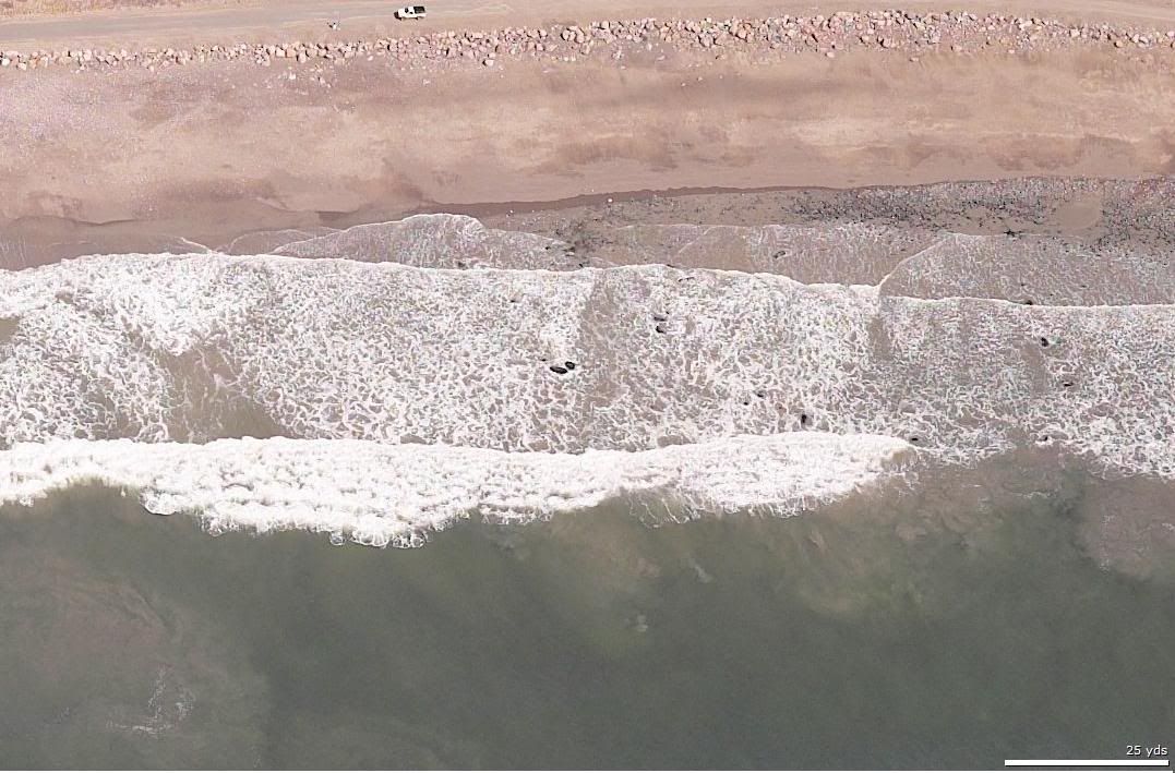
Google Earth lets you get some pretty detailed pictures from above, and in some cases it gives a clear look at underwater terrain. I'll definately be using this photo as a navigational reference next time I'm at Pebble Beach!
Pebble_Beach.JPG


FYI, Google Earth is a free download at http://earth.google.com/

Let me know if any of you find other useful New England dive site pictures.
 
Word of caution. Google Earth does not necessarily have updated photos. I know the pictures of Cape Ann are about two years old. Alot can change around here given man's and mother nature's activities.
 
True enough... if you want evidence of how dated the photos are, check out pictures of Saddam's palace in Baghdad.

Nevertheless, sands may shift, but rock reefs are likely to stay more or less where they are.
 
its true..
I just looked at my property and the pics are at least 2 yrs old..
nice pictures
it could help when checking new sites out
 
Nice, Matt, one can really prepare a dive by using this to get an idea where the reef is. I think I'll look at OGB because I always miss the reef by a mile when diving that site.

On a side note, I recently got a Magellan Explorist GPS with topographical maps. I looked at their marine package and it is my impression that only currents and land masses are shown, but depth information is not available. Do any of the Marine GPSes show ocean bottom topography? Maybe Garmin?
 
MSilvia:
True enough... if you want evidence of how dated the photos are, check out pictures of Saddam's palace in Baghdad.

Or the restaurants it shows in Gloucester:wink:
 
Hey,That's my truck!!!

Would you post a link to that microsoft program?
TIA
 
https://www.shearwater.com/products/peregrine/

Back
Top Bottom