


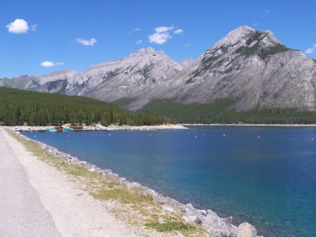
I'm going to dive Minny tomorrow and want to do the dam and the bridge pilings. I thought the markers for the dam would still be there but alas they are gone. So I'm not quite sure where to park and enter to hit the dam.
Usually I enter at the plaque site and just scooter over but since I'm swimming tomorrow using the hit and miss method of navigation isn't going to work so well.
Thanks in advance.
Usually I enter at the plaque site and just scooter over but since I'm swimming tomorrow using the hit and miss method of navigation isn't going to work so well.
Thanks in advance.
")
